
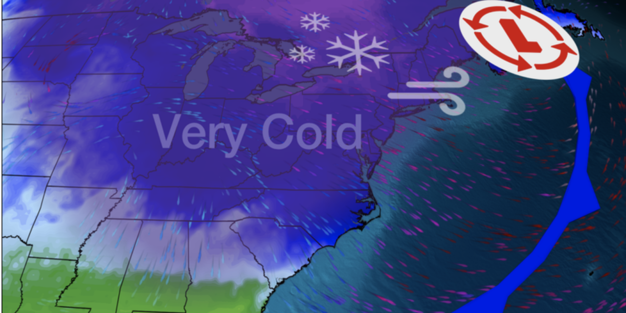
(NBC) – A May snowstorm is in the making for this weekend, and it could bring historic snow totals to parts of the interior Northeast and New England. On Friday, a storm system moving into the Northeast will clash with bitter cold Arctic air courtesy of the polar vortex, bringing the potential for heavy, wet snow to the region. Heavy rain is possible along the I-95 corridor.
“The unusually cold air mass from eastern Canada will be pulled southward down into the eastern U.S. behind the storm, resulting in widespread record low temperatures spanning as far south as Alabama and Mississippi on Saturday,” the National Weather Service said in a forecast discussion.
Widespread snowfall totals will range from a dusting to 6-8 inches in some spots, while isolated areas in extreme northern New England could see up to a foot. If this happens, it will shatter May snowfall records. Some cities that could see snow include Syracuse, Rochester, Binghamton, Albany in New York; Scranton, Pennsylvania; and Burlington, Vermont.
In addition to the rain and snow, it will be very windy with gusts over 40 mph across the entire Northeast region and Eastern Seaboard. Snow, rain showers and gusty winds will continue for the Northeast and New England through Saturday. READ MORE


