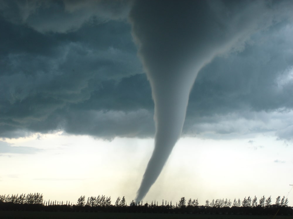
Severe thunderstorms are expected to produce damaging hail, tornadoes and strong wind gusts as they rumble through portions of the Plains, Midwest and South to begin this week. Some of the storms could produce hail the size of golf balls or larger and possible strong tornadoes.
This multi-day bout of severe storms began Sunday night in the Midwest. Hail up to the size of tennis balls was reported in central Illinois near Decatur.
Showers and storms are spreading across parts of the central and eastern states right now. The chance of severe storms will increase this afternoon.
-A broad area from central Texas to the mid-Mississippi and Ohio valleys has the possibility of severe weather through Monday night, according to the outlook below from NOAA’s Storm Prediction Center.
-The most likely corridor for severe storms includes locations from north-central Texas and eastern and central Oklahoma to southeast Kansas, northwest Arkansas, southern and central Missouri and southern Illinois.
-Large hail, wind damage and a threat of tornadoes are all in play, and it will last into the evening and overnight hours in some areas.
-The highest risk for a strong tornado (EF2 or greater intensity) is in northeast Oklahoma, northwest Arkansas, southeast Kansas and southwest Missouri. Areas shaded red in the map below have the highest chance of hailstones the size of golf balls or larger.
-As the storm system shifts eastward, an enhanced threat of severe storms will increase across the Tennessee and Ohio valleys on Tuesday. The possibility of severe weather might also extend eastward across the Appalachians and into the mid-Atlantic, and southward into parts of north Georgia, central Alabama and central Mississippi.
-Wind damage, large hail and some tornadoes are potential threats in these areas.
-It’s possible that isolated severe storms might continue into Wednesday in the mid-Atlantic into the eastern Carolinas and central Florida.


