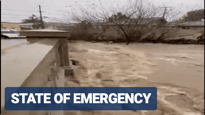
A dire situation is unfolding in California as a dangerous and potentially life-threatening atmospheric river storm continues to slam the state with torrential rain, destructive wind gusts and catastrophic flash flooding.
NOAA’s Weather Prediction Center (WPC) has warned that the ongoing situation will continue to produce locally catastrophic flash and urban flooding in Los Angeles, which remains under a rare “high risk” of flash flooding.
The “high risk” is the highest rung on NOAA’s flash flood threat scale and is only issued under the most dire of flooding forecasts.
The storm has already dumped several inches of rain across the region, and the FOX Forecast Center said additional rainfall totals of 1-3 inches are expected, with locally higher amounts of 5-8 inches possible in parts of Southern California.
Landslides, rockslides, mudslides and high-water rescues have already been reported, and the National Weather Service office in Los Angeles has warned that an “extremely dangerous situation” has been unfolding in the Hollywood Hills and around the Santa Monica Mountains.
“Life-threatening landslides and additional flash flooding expected overnight tonight,” the NWS said. “Avoid travel if possible.”
California Gov. Gavin Newsom declared a State of Emergency for several counties in Southern California to help support storm response and recovery efforts.
The Golden State mobilized and prepositioned a record 8,500 emergency responders ready for flooding, landslides and travel emergencies, according to the governor’s office.
The State of Emergency includes Los Angeles, Orange, Riverside, San Bernardino, San Diego, San Luis Obispo and Ventura counties. In Santa Barbara, the swollen Mission Creek forced police to evacuate residents along streets near the downtown corridor.
The city of Santa Cruz shared a dramatic image of a large tree that had come crashing down on top of a vehicle, crushing it. Emergency officials warned people to avoid that area while crews worked to remove the debris.


