
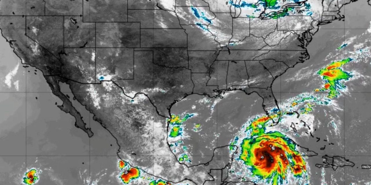
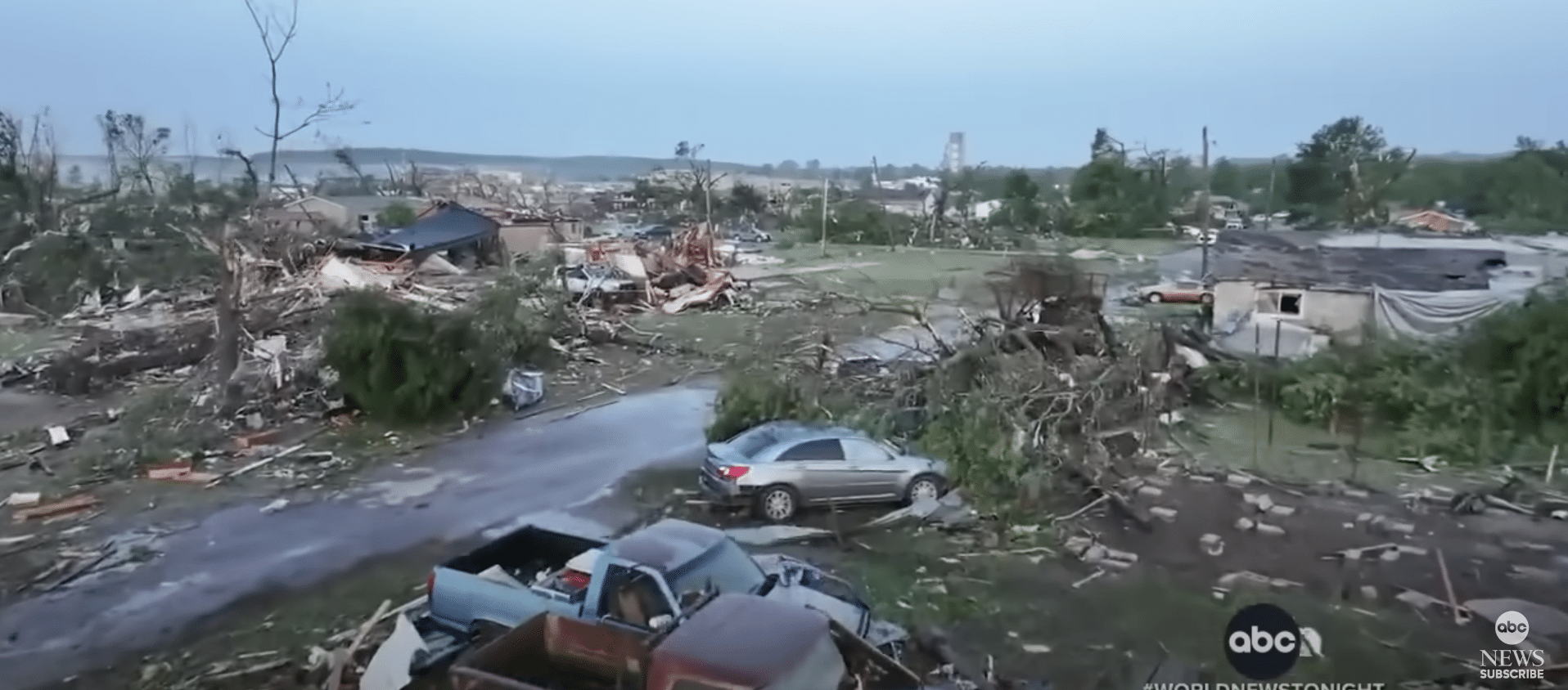
Hurricane Ian keeps getting stronger as it barrels toward Florida, prompting urgent evacuations and threatening dangerous storm surges in places not used to getting hit directly by a hurricane.
Ian is now a Category 2 hurricane on the Saffir-Simpson wind scale, according to a 5 p.m. ET update from the Miami-based National Hurricane Center. The eye of the storm is located around 150 miles southeast of the western tip of Cuba and Ian is moving north-northwest near 13 mph, the center said. Florida could start feeling Ian’s wrath as early as Tuesday, with hurricane conditions potentially hitting the state Wednesday.
The hurricane center’s forecast for Ian “has shown an unprecedented rate of strengthening from a tropical storm to powerful hurricane,” CNN meteorologist Brandon Miller said. Ian’s winds intensified from 85 mph Monday afternoon to 100 mph at 5 p.m. ET. Forecasters expect Ian to become a major hurricane before it lashes the US, with winds reaching 111 mph or greater.
Conditions in western Cuba are expected to deteriorate this evening and through the night, with “significant wind and storm surge impacts expected,” the hurricane center said. Ian will likely be a Category 3 with winds of 120 mph or greater when it moves over Cuba Tuesday morning, forecasters say, and it’s also expected to produce flash flooding and possible mudslides in parts of Jamaica and Cuba.
A total of 19,283 people have been evacuated from their homes in the Western Cuban province of Pinar del Río, according to the state news channel TelePinar. “Storm surge could raise water levels by as much as 9 to 14 feet above normal tide levels along the coast of western Cuba in areas of onshore winds in the hurricane warning area tonight and early Tuesday,” the center said. In the US, more than 15 million people are expected to suffer at least tropical-storm-force winds in cities including Tampa, Orlando, Tallahassee, and Jacksonville, Miller said. (CNN)


