
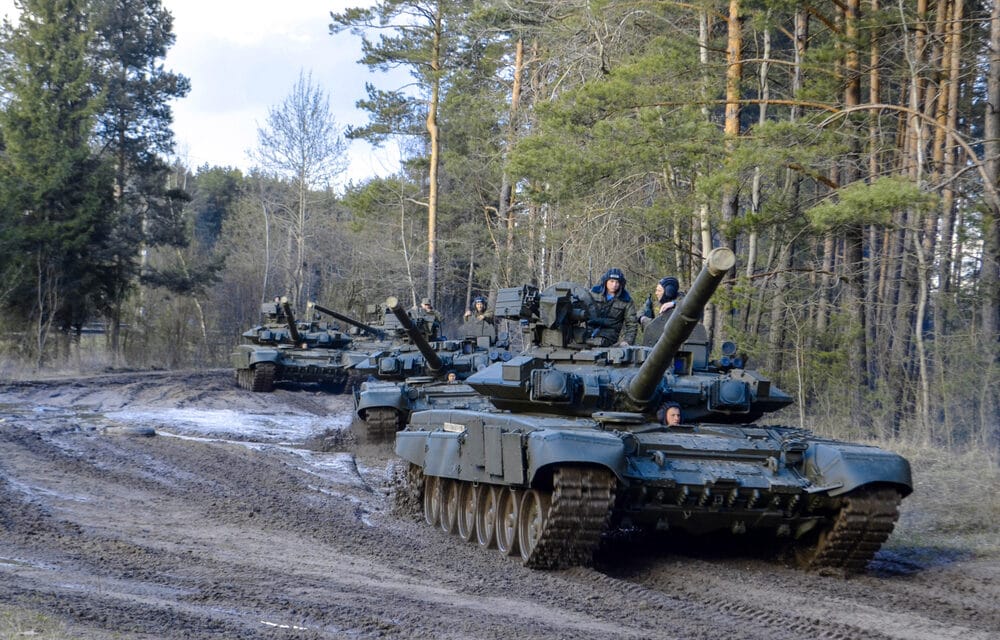
Satellite imagery taken on Sunday showed a large deployment of Russian ground forces including tanks moving in the direction of the Ukrainian capital Kyiv from approximately 40 miles (64 km) away, a private U.S. company said.
The images released by Maxar Technologies Inc (MAXR.N) showed a deployment comprised of hundreds of military vehicles and extending more than 3.25 miles (5 km), Maxar said.
The convey was situated northeast of the Ukrainian city of Ivankiv and contained fuel, logistics, and armored vehicles including tanks, infantry fighting vehicles, and self-propelled artillery, it said. The satellite images also showed damage caused by recent airstrikes on the Antonov airport in Hostomel, and heavy fighting in and near the airport, Maxar reported.
Russian forces are continuing to slowly bear down on the city but were repelled in Bucha and Irpin, on the northwest outskirts, after what appears to have been a poorly coordinated attack by irregular forces.
A string of videos emerged on social media showing the aftermath of the fighting, with images of multiple destroyed armored vehicles and several dead soldiers. Irpin’s mayor said the town remained in Ukrainian hands on Sunday morning. Reports circulated that Chechen soldiers were among those killed.
There have been several days of heavy fighting in the area since Russia staged an airborne landing of forces in the nearby Hostomel military airport. Three bridges in the area have been reportedly blown up by Ukrainian forces to slow down the Russian advance.
In an interview with Associated Press, the capital’s mayor, Vitali Klitschko, appeared to say that the city had been encircled, though this was later clarified by his press team who said Klitschko was speaking figuratively and that Kyiv wasn’t literally blocked. Routes to the south remained free on Sunday.


