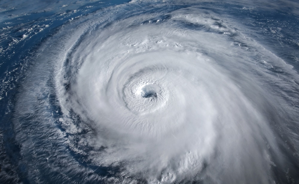
Data this weekend indicates a low potential for a tropical depression or storm to form and track due west into the east coast of Florida or southeast Georgia by late Wednesday into Thursday.
Such an event would be “extremely rare” for June, said FOX 35 Storm Team Meteorologist Noah Bergren. “Historically, only three storms have made landfall from the east in June,” he added. “The most recent was Tropical Storm Danny in 2021, which hit South Carolina.”
This unusual weather pattern is due to a massive heat dome over New England, creating an east-to-west flow over the southwest Atlantic Ocean. The National Hurricane Center currently estimates a 30% chance of tropical formation as of Father’s Day.
“Personally, I think we should pump the brakes and wait to see what Monday’s data looks like. That said, a very fast system would be favored if it did form, meaning it would be in and out in a matter of hours,” said Bergren. “Could a tropical depression or tropical storm spin up and hit Florida’s east coast in rare form this Thursday? Yes. But for now, I think even if that happened, it would be a really weak, lopsided, and disorganized storm with not a major impact at all.”.
One model suggests a more significant impact, showing a strong tropical storm making landfall in northeast Florida. However, this scenario is highly unlikely for mid-June. This season’s warm ocean waters contribute to the potential for such rare events.
Elsewhere, a large area of disturbed weather has developed over Central America, the Yucatán Peninsula of Mexico, and the nearby waters of the northwestern Caribbean Sea.
This system will evolve into a broad area of low pressure over the southwestern Gulf of Mexico within the next day or two. Conditions seem favorable for gradual development, and a tropical depression could form by midweek as it moves slowly westward or west-northwestward. The National Hurricane Center in Miami says there is a 70% chance this could develop into a more organized system over the next week.
If a named system forms, it will be our first named system of the season, which is Alberto.
Heavy rainfall is anticipated over southern Mexico and Central America for several days, posing a risk of life-threatening flooding and flash flooding.
The FOX 35 Storm Team is also tracking two tropical waves – one in the eastern Atlantic and one in the central Atlantic – with scattered moderate convection. Stay tuned for updates as we continue to monitor the situation.


