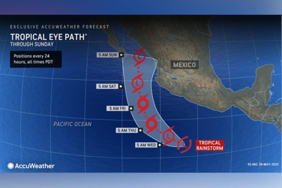
In an early and unexpected start to the Eastern Pacific hurricane season, Tropical Storm Alvin has officially formed, making it the first named storm of 2025 in the region.
According to the National Hurricane Center (NHC), Alvin developed from a low-pressure system that rapidly organized off the southwestern coast of Mexico late Tuesday evening.
What makes Alvin’s formation particularly noteworthy is its timing and location.
Typically, early-season storms in the Pacific don’t form until June or later, and even then, they often remain weak or dissipate quickly.
However, Alvin defied expectations by strengthening rapidly into a tropical storm with sustained winds of 45 mph (72 km/h) and showing signs of further intensification as it moves west-northwest over warm ocean waters.
Meteorologists have been closely monitoring ocean temperatures and atmospheric conditions, which have been trending warmer than usual for this time of year.
Sea surface temperatures in the region are currently above average, creating ideal conditions for tropical cyclone development.
“This is certainly an unusual start to the season,” said Dr. Elena Morales, a climatologist with the National Oceanic and Atmospheric Administration (NOAA).
“Alvin’s early formation could be a sign of a more active and unpredictable Pacific hurricane season in 2025, possibly influenced by evolving El Niño conditions.”
At this time, Alvin poses no immediate threat to coastal communities.
The storm is projected to remain over open waters and gradually weaken over the next few days due to increased wind shear and cooler waters to the northwest.
Nonetheless, authorities are advising vessels in the area to exercise caution. Rough seas and scattered thunderstorms are expected to affect maritime routes, particularly those west of Baja California.


