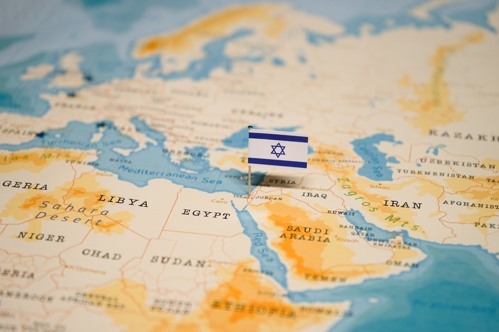
A public school in New York City is receiving criticism after a map in one of its classrooms omitted the existence of Israel.
Brooklyn’s PS 261 school said it took down the colorful map titled, “Arab World,” in which the area that sits between Lebanon, Jordan, and Syria—where the Jewish state, as well as Gaza and the West Bank, lies—is labeled “Palestine,” after the Free Press on Thursday reported its display in a classroom there.
The Free Press asked the city’s Department of Education whether the map remained up in the wake of Hamas’s Oct. 7 attacks on Israel.
Spokesman Nathaniel Styer responded by asking, “Why would it not be?” and added that it was a “map of countries that speak Arabic.” After the outlet published the story, however, Styer gave an update on the map’s status.
“We are committed to fostering a welcoming environment here at [New York City Public Schools] that supports all cultures and communities,” Styer told the Free Press. “As soon as we were made aware of concerns regarding the map it was removed.”
Tova Plaut, an instructional coordinator in New York for classrooms that teach students from pre-K to fifth grade, told the outlet the map could “embed implicit bias” in children against Israel.
“What it does is it creates this inner instinctive knowledge that they internalize that this land belongs to the Arab world, that it does not belong to anyone else,” she said. “When you embed something when children are young it becomes a belief, and belief is much harder to change than knowledge.”
Politicians from the area expressed concerns over the map’s presence in the school.
This is not the first time a school in the Big Apple has been in the news for events relating to Israel’s war on Hamas.
Students in November rioted in the hallway of Queens’s Hillcrest High School, damaging school property in the process, after they learned that a Jewish teacher had posted about her attendance at a pro-Israel rally. That teacher hid inside a locked office during the demonstration.
