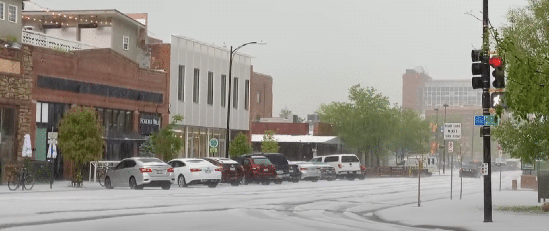
As severe storms hit the Front Range on Monday afternoon, Boulder got so much hail that it looked like snow, followed by flooding of creeks and in some streets.
The severe weather threat will continue for much of the Front Range and the eastern plains through Monday afternoon. Colorado Springs, Pueblo and much of southeastern Colorado was under a Severe Thunderstorm Watch through 7 p.m.
9NEWS viewers shared photos and video from storms as they passed over Boulder County. Meteorologist Chris Bianchi said about 1 to 2 inches of hail fell on the city.
As of about 2 p.m. Monday, storms were still hitting along the Interstate 25 corridor, but the heaviest rain should be mostly done. Here are some videos and photos from the storm Monday in Boulder:


