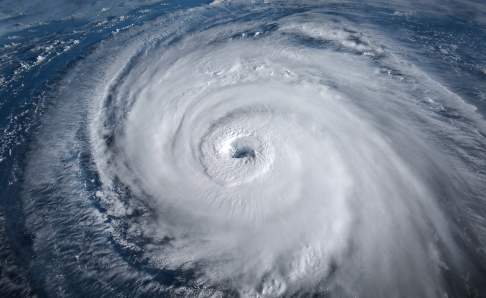
South Korea is bracing for the strongest storm in the nation’s history with Super Typhoon Hinnamnor forecast to hammer its southern coastal areas next week.
The worst of the typhoon is forecast Monday or Tuesday when the weather system is expected to pound the resort island of Jeju and batter southern coastal cities including Busan and Ulsan, with landfall expected on Tuesday.
“We’ve never encountered a typhoon with this level of atmospheric pressure before, which is extremely worrisome because the degree of damage may be beyond our expectation,” Woo Jin Kyu, a weather analyst from the Korea Meteorological Administration, said during a briefing Friday.
Extremely intense wind and rain could cause a typhoon surge and flooding, and the nation should be prepared to prevent any catastrophic damage, Woo said.
Hinnamnor is forecast to be even more destructive than Typhoon Sarah in 1959, according to the meteorological administration. That storm killed more than 600 people and injured 2,533, and caused 249 billion won ($180 million) in property damage, according to the National Archives of Korea.
The super typhoon was heading north-northwest at about 2 kilometers (1.24 miles) per hour, some 500 kilometers east off the coast of Taiwan as of 9 a.m Seoul time. The storm has slowed in recent days and is currently packing sustained winds of about 109 miles (175 kilometers) per hour with gusts around 132 mph, according to the US Joint Typhoon Warning Center.


