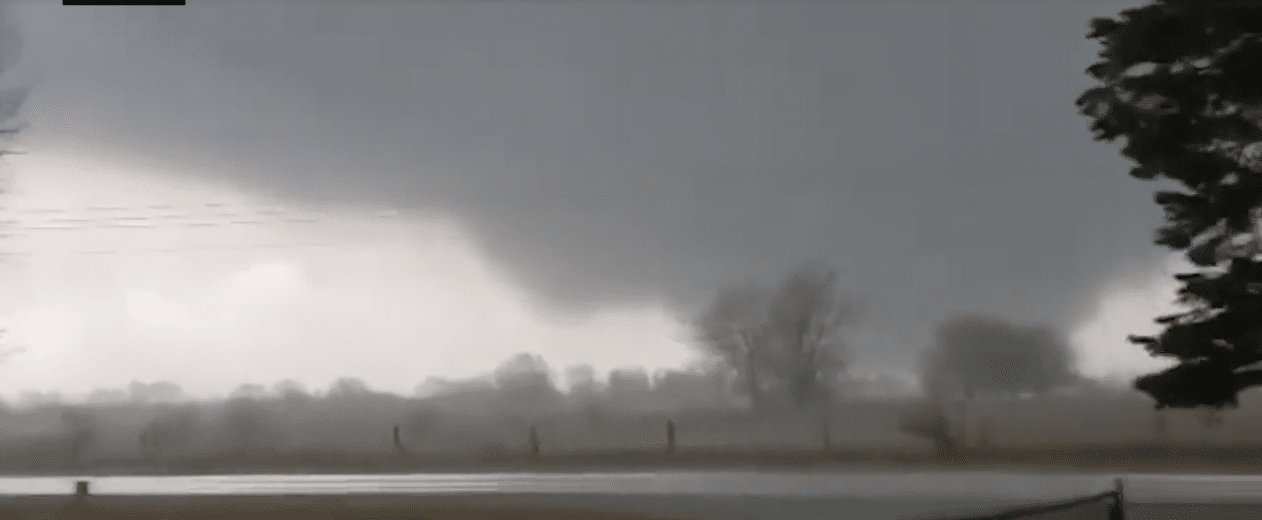
A confirmed tornado caused damage to the Des Moines area on Saturday as a potent storm made its way through the Midwest. Early Saturday afternoon, a tornado watch was issued for Nebraska, Missouri, and Iowa in preparation for the incoming severe weather.
About an hour later, the first tornado warning of the day was issued in Iowa. As the southern portion of the storms crossed from Nebraska into Iowa, reports of hail began to surface. In Shenandoah, Iowa, several hailstones could be seen falling onto the intersection of Nebraska 2 and US-59.
Hail could be seen falling on the intersection of Nebraska 2 and US-59 in Shenandoah, Iowa, on Saturday afternoon. This storm cell has since moved to the northeast and has become tornado warned. https://t.co/apHBEbDdfo pic.twitter.com/16MLui4xqW
— Breaking Weather by AccuWeather (@breakingweather) March 5, 2022
Throughout the afternoon, several additional tornado warnings were issued in Iowa. Just after 4 p.m., local time, The National Weather Service said a confirmed tornado was located near Corning, Iowa, and Prescott, Iowa, on Saturday afternoon.
Shortly after, a multi-vortex tornado was spotted in Patterson and Winterset, Iowa, before heading closer to the Des Moines area. According to Yahoo News, A tornado warning was issued for Des Moines shortly after 4:30 p.m., local time, as the tornado approached closer to the city.
Structural damage was reported near Patterson as a result of the storm. Several trees were also down and there was damage to buildings. The tornado had been confirmed by the National Weather Service to be near Norwalk, Iowa, a city located just southwest of Des Moines.


