(CBS) – A slow-moving, blockbuster storm is likely to bring the biggest snowfall in decades to parts of the Front Range of the Rockies and western Plains states this weekend, possibly challenging all-time records for some cities.
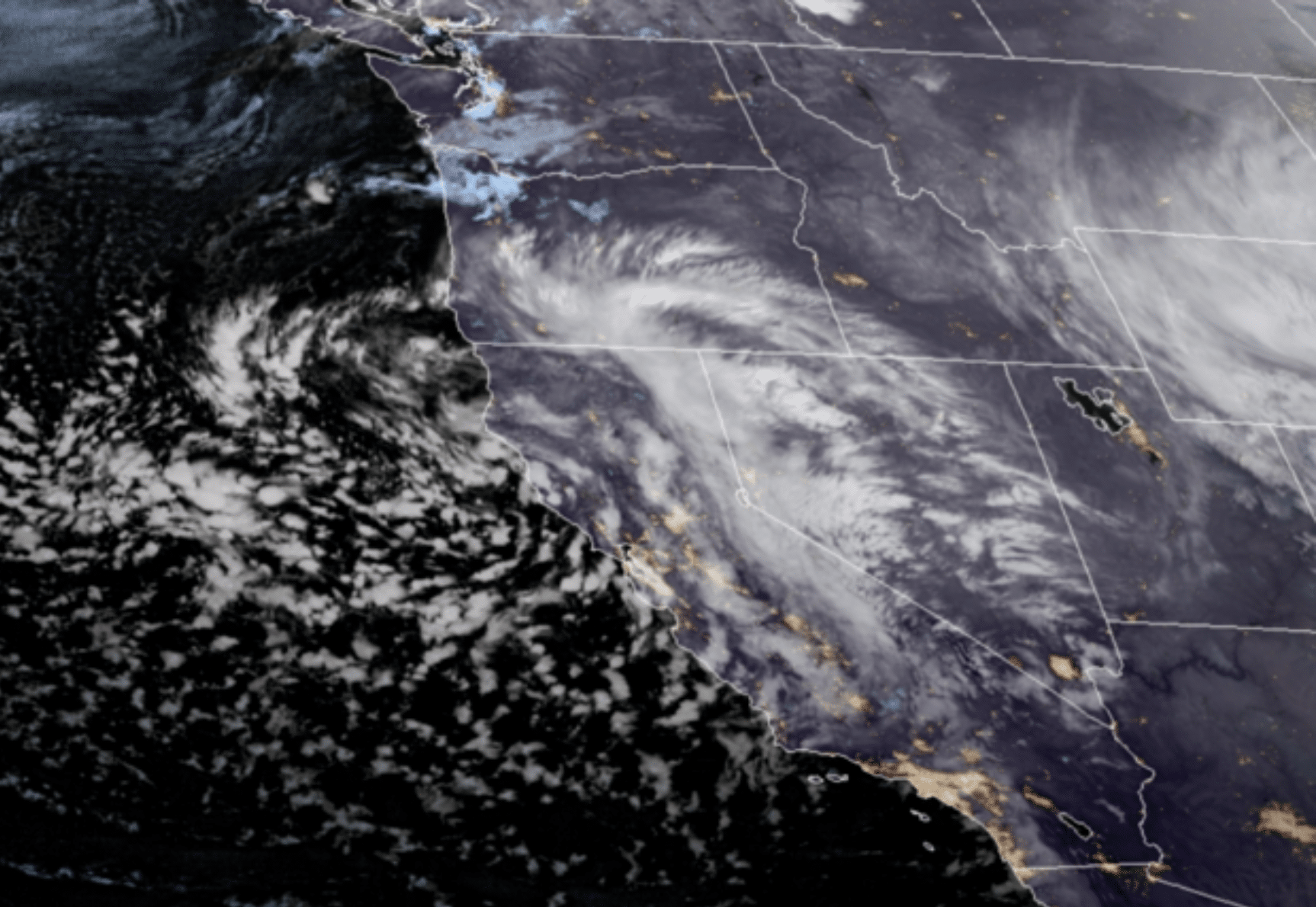
On the warm side of the storm, the first spring season severe weather outbreak threatens Texas, Oklahoma, and Kansas. The massive, whirling storm system was diving southward from the Pacific Ocean into California on Wednesday, providing some much-needed rain and snow after the fourth-driest 18-month stretch in state history.
Heavy downpours will bring an inch or two of rain to many parts of the state and over a foot of snow in the higher elevations. Once the storm reaches the Rockies it will slow down and intensify, using its atmospheric dynamics to funnel warm, moist air from Mexico northward — slamming the moist conveyor belt right into elevated land in the western Plains and Rocky Mountains.
This effect of forcing air to rise due to land elevation is called orographic uplift and is responsible for the biggest snowstorms in cities like Denver and Boulder. While the first round of snow is falling Wednesday in Colorado, Wyoming, Nebraska, and South Dakota, it’s the next round, starting later Friday and reaching its apex on Sunday,
that will make traveling near impossible, with snowfall rates of 2 to 4 inches per hour. Wind gusts over 45 mph are likely on Saturday, ramping up to 60 mph on Sunday, meaning blizzard conditions will be widespread. READ MORE


 Our content is produced by Ricky Scaparo, who authors original articles and aggregates news from mainstream sources. Ricky carefully selects topics, verifies information, and curates content with the assistance of artificial intelligence tools to ensure timely and accurate coverage. All content is reviewed and edited by Ricky to align with our mission of providing a prophetic perspective.


