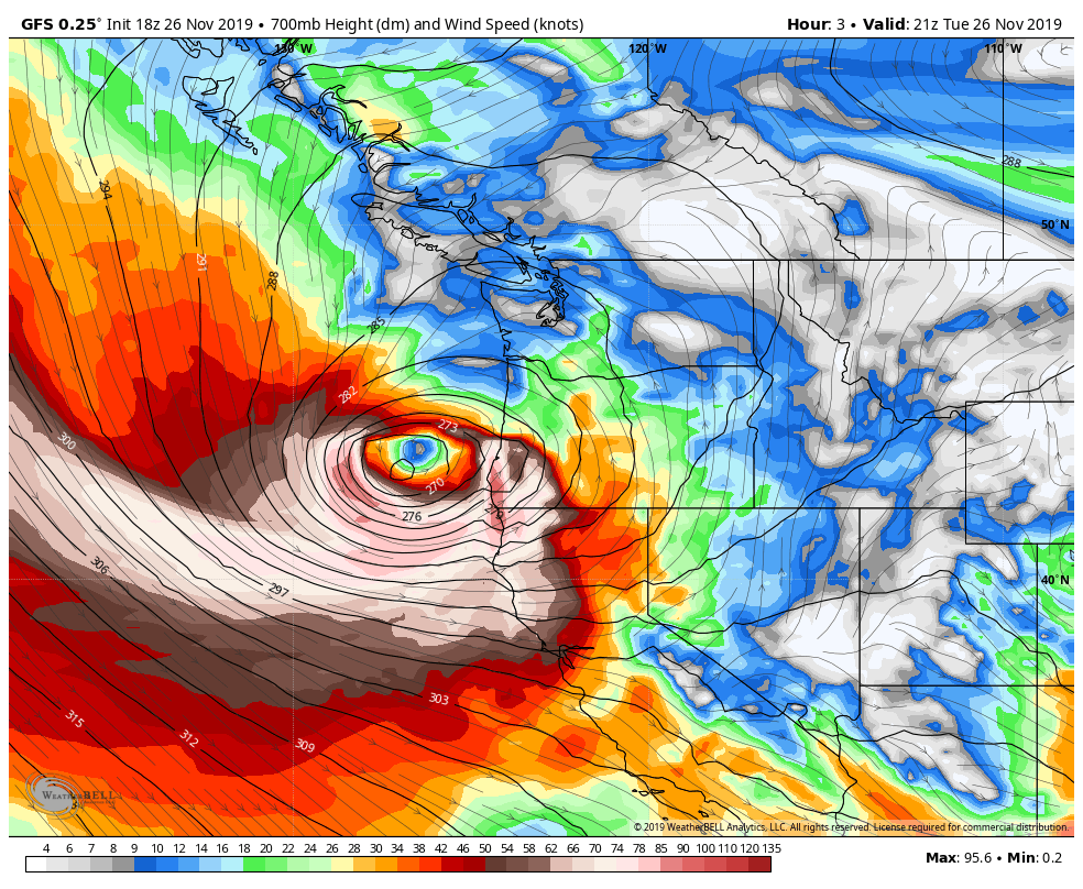
WP – An “unprecedented” bomb cyclone roared ashore in southwest Oregon and Northern California on Tuesday evening, bringing powerful winds and smashing all-time air pressure records. Marching ashore with winds clocked at hurricane force, the storm that pounded the Pacific Coast intensified at nearly twice the rate of a “bomb cyclone.” Sustained 85 mph winds were measured Tuesday afternoon at Cape Blanco, Ore., with a gust to 106 mph. The extreme winds appear to have been most potent at the leading edge of a “warm seclusion.”
In essence, the storm got so wrapped up that it pinched off a lobe of warm air that became detached from the main warm sector of the system. You can see that in the model animation below. For all intents and purposes, red represents warmth, and blue demarcates cooler air. What’s really being depicted are “thickness” measures of an air column. Warmer air expands, making a volume of air taller, or thicker. That’s shown here as a bubble of red detached from the rest of the warm air. It’s not unusual for a narrow nose of hurricane-force winds to form along the bent-back warm front encircling the lonesome pocket of warmth. READ MORE


