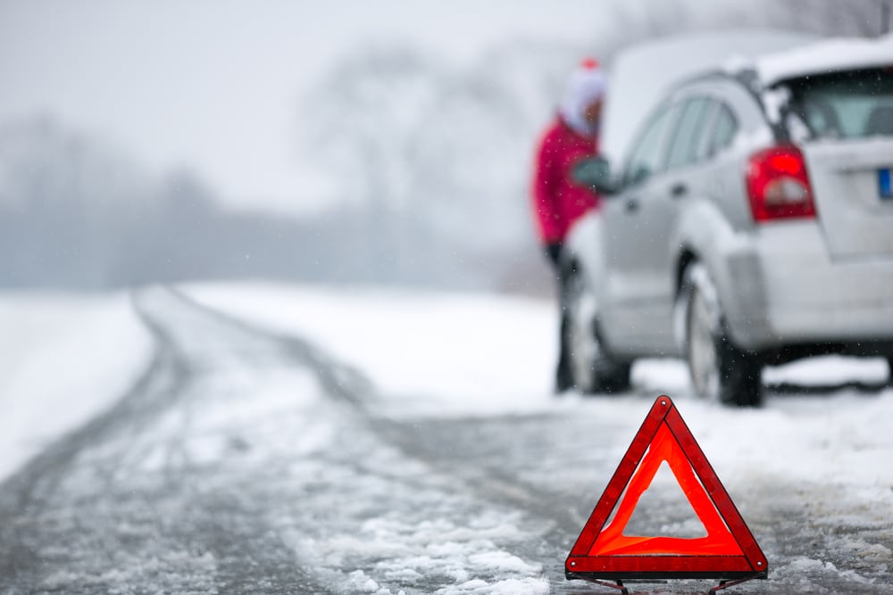
The National Weather Service is calling for a prolonged, major winter storm from coast-to-coast this week. Blizzard conditions are expected this week for parts of the Great Plains, and significant wintry hazards will impact the Midwest into the Northeast.
However, something caught my eye this morning. The National Weather Service office in Los Angeles, California issued a Blizzard Warning. Here’s why. Before I dig in to that decision, it is important to define the term Blizzard. It is one of the most mis-used terms in meteorology. Every big snowstorm is called a Blizzard. Heck, here in the South, a 2-inch snow event will be dubbed the “The Great Blizzard” of that particular year. The National Weather Service glossary defines a Blizzard as, “…
According to Forbes, The following conditions are expected to prevail for a period of 3 hours or longer: Sustained wind or frequent gusts to 35 miles an hour or greater; and Considerable falling and/or blowing snow (i.e., reducing visibility frequently to less than ¼ mile).”
The National Weather Service – Los Angeles posted a series of ominous warnings Tuesday morning. They wrote, “Winter Storm Warning through late Thursday with low elevation snow, strong winds and very cold wind chills….the Blizzard Warning, heavy snow with winds gusting up to 75 mph and near zero visibility.”
The National Weather Service is also calling for 2-5 feet of snow above 4000 ft by Saturday evening with some values potentially 7 feet. Parts of the Los Angeles County and Ventura Mountains are under Winter Storm Warning until Friday morning and then Blizzard Warnings until Saturday evening.
The Los Angeles office tweeted this is their first Blizzard Warning since the VTEC coding era began in 2006. I am sure that is meaningless to most people reading the Tweet so “I got you.”
