
(CBN) – In less than a week’s time, the atmosphere over the eastern United States will shift gears from a weather pattern that favored out-of-season cold and snow to one that yields summerlike warmth and even the potential for early tropical activity in the Atlantic Ocean — despite the official start of the Atlantic hurricane season being weeks away.
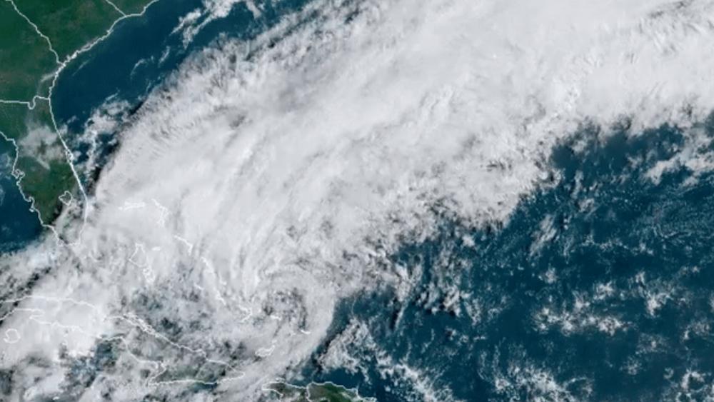
The jet stream will flip from a strong southward dip more typical of January early this week to a strong northward bulge, which is more common during the mid- to late summer. AccuWeather meteorologists will be closely monitoring an area of disturbed weather that may evolve into a tropical system near the Bahamas late this week amid the summery pattern.
The center of this tropical or semi-tropical feature and most of the rain are expected to stay east of the U.S. mainland, but there will be some impact from it reaching the beaches of the U.S. and perhaps more significant impact on the islands offshore. READ MORE


