
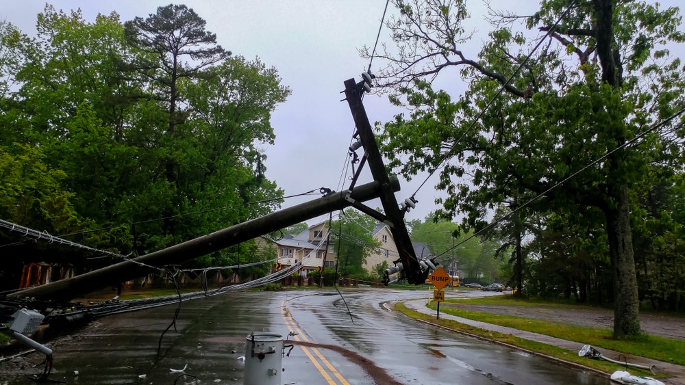
(Express) – Hurricane Dorian has made landfall in the Carolinas after tracking along the southeastern US coast and battering the Bahamas earlier this week. Here are the latest updates, satellite images and NOAA advisories. Deadly hurricane Dorian has now made landfall over Cape Hatteras, North Carolina, the US National Hurricane Center (NHC) said in an advisory today. It is causing extensive flooding as it howled over low-lying islands off North Carolina. The Category 1 hurricane is located about 5 miles (5 kilometers) northeast of Cape Hatteras, North Carolina, and is packing maximum sustained winds of 90 miles-per-hour (150 kilometers/hour).
Dorian previously made landfall in the Bahamas as a Category 5 hurricane, causing devastation to homes, pushing islands underwater and killing at least 30 people. The hurricane has slowly crawled north on Friday, skirting the Carolinas and flooding coastal towns a couple of days after it reduced parts of the Bahamas to rubble. According to the NHC, a Weatherflow station at Ocracoke, North Carolina, recently reported a sustained wind of 73 mph (117 km/h) and a wind gust of 89 mph (143 km/h). There are several warnings and watches in place as, despite the downgraded status, strong winds and torrential rain could cause dangerous conditions for residents. READ MORE


