

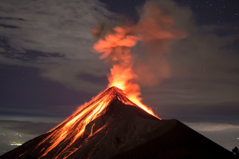
Guatemala’s Fuego volcano erupted at 13:15 UTC on May 5, 2017, producing pyroclastic flows and ejecting thick volcanic ash cloud to an estimated altitude of 5 km (16 405 feet) above sea level. INSIVUMEH is describing it as one of the strongest eruptions in recent years, recommending CONRED to raise the alert level to Orange. In a special bulletin released 17:00 UTC on May 5, INSIVUMEH said volcanic ash cloud is moving more than 50 km (31 miles) to the south,
southwest and west, generating ashfall in San Pedro Yepocapa, Morelia, Santa Sofía, El Porvenir, Palo Verde and others on this side, like Santa Lucia Cotzumalguapa, Siquinala, San Andres Osuna, Chuchu and La Reunión. Ash is being produced by pyroclastic flows down the Trinidad, Las Lajas, Ceniza and Santa Teresa drainages. This is the strongest eruption since 2012, INSIVUMEH said and added it forced the evacuation of the village of Sangre de Cristo (population 300), located on the west flank. READ MORE


